XYMap
Online Mapping Tools.

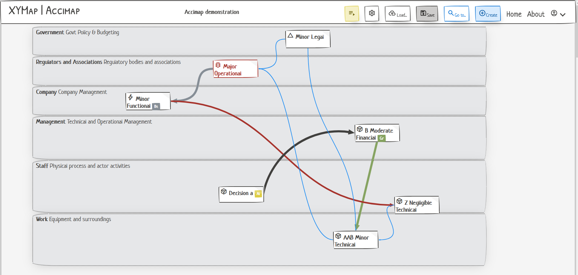
Drag and drop mapping tools
Create complex graphs and diagrams with easy to use tools.
Import and export
Print, save and export your maps. Load saved maps or import detail from file sources.
Models included
Maps in XYMap are model-based; data can be viewed and interacted with in multiple ways - on the map or via a list.
Plus even more
Features planned and in preview.
-
Narration mode
Explain and narrate your map via a slideshow, hiding and showing elements to focus attention on the steps of the story.
-
Classification and Categorization
Categorize each element - an unlimited amount of categories are available to create and use.
-
Tags
For non-hierarchic classification, tags fit the bill. Tags can be applied to each element, and elements can have multiple tags attached. Create your own tag scheme and apply it to your map.
-
Listings
As well as the map itself, each element is represented with a listing. These can be viewed on subsequent pages of the app, and allow fine-grained control and exploration of the data that the map represents.
-
Save to file
Save your maps with all the layout intact - or export just the facts, to flat files.
-
... and more to come
More ideas are on the way. Sign up for the newsletter to hear more.
